Climate Odyssey
Description
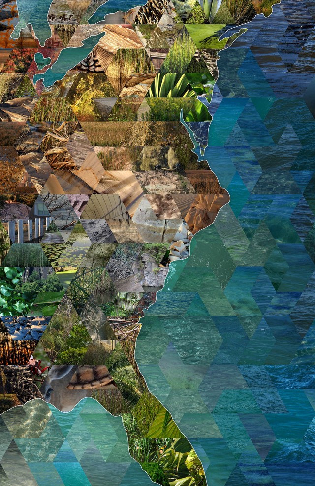
This collaged map is the record of a 3,500-mile sailing journey and art/science collaboration completed by artist Lucy Holtsnider and hydrologist Zion Klos in 2016. Their journey and accompanying project, titled Climate Odyssey, took over a year to complete and began in Lake Michigan and concluded in the Caribbean. Along the way they used their complementary skills in art, science, and communication to make scientific findings on climate change accessible and approachable to a wide audience.
The images, arranged according to hue and value rather than location, together display the contour of the East Coast of the US. Individually, they reveal the impacts of climate change, such as invasive species or erosion, that Holtsnider and Klos encountered along their route. The photographs also show examples of climate change adaptation strategies and a sampling of the flora and fauna they encountered along the way. An interactive digital version of the map containing hundreds of links to external resources about climate change science can be found at ClimateOdyssey.org/interactive-map.


